Bracknell says a decisive "Yes" to its Neighbourhood Plan, with the result being announced on 10 September. Here is the result:
Yes 3475. 86% : No 582. 14%
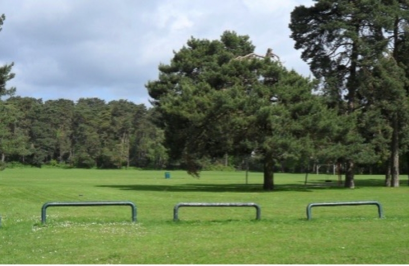
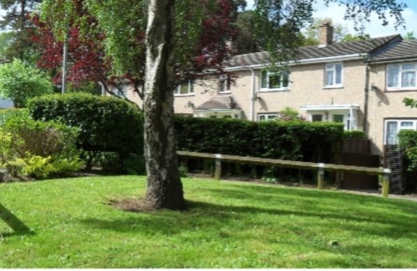
The plan is approved. As a result of this, the following areas are designated as Local Green Spaces, giving them protection from development equivalent to green belt:
A. South Hill Park
B. Lily Hill Park
C. Easthampstead Park
D. Great Hollands Recreation Ground
E. Jurassic Park (Great Hollands Playing Fields)
F. Mill Park and Wildridings Playing Fields
G. Harmans Water Playing Fields and The Parks
Playing Fields H. Calfridus Way Playing Fields
I. Braybrooke Recreation Ground
J. Queensway and Brook Green
K. The Elms Park
Additionally, as an area with a Neighbourhood plan, a greater proportion of funds for infrastructure (Community Infrastructure Levy) will be available to Bracknell, - 25 per cent as opposed to 15 per cent. These funds arise from local planning permissions.
Cllr Chris Turrell, chair of the neighbourhood plan steering group, which has overseen the plan, said: "On behalf of the plan steering group, I am very grateful to all the residents who took the trouble to read the information and vote for the Plan, bringing benefits to Bracknell, such as protection for green space, improvements to pedestrian and cycle links, protection of community facilities and support for environmental improvements."
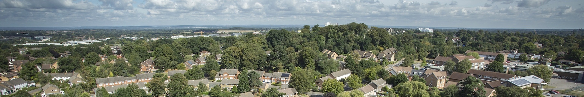
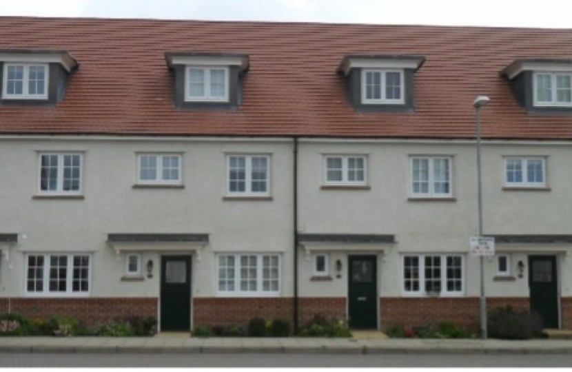
Particularly during Covid, Bracknell has benefited from its planned layout with plenty of accessible green spaces. A key aim of the Bracknell Town Neighbourhood Plan (BTNP) is to protect these, and to play a part in ensuring that new development in Bracknell is in character and of good quality. The plan's 36 policies also protect heritage buildings and community facilities, support economic infrastructure and transport improvements.
Cllr Turrell said: "For the plan to have come through the process is an enormous tribute to the tenacity of the steering group members. The role of local residents in the consultation events has been key to the content of the plan."
The Bracknell Town Neighbourhood Plan will now go to Bracknell Forest Council's executive on 19 October, to be "made", bringing it into full legal force, and the final version, to be used by planners in decision-making, will be published.
Neighbourhood plans were introduced by the Localism Act 2011. The first plans started to come into force about two years later. The decision to put together a Neighbourhood plan for Bracknell was made in 2013.
The designated area of the plan, which covers the Bracknell Town parish area, was approved in 2014. In terms of population in plan area, at approximately 60,000, and an electorate of over 42,000, the Bracknell Town Neighbourhood Plan is believed to be the largest in the country. Bracknell was designated a new town in 1949 under the New Towns Act 1946.
Nationally, some 2,500 neighbourhood plans are in process, with over 1000 having been "made" - the final stage of the process, when they come into legal force. Plans undergo scrutiny by an independent examiner, who checks that consultation has been carried out and that the wording of policies is workable.
Neighbourhood plans complement other planning policy documents, most notably the Local Plan, and their policies must be considered when planning permission decisions are made. Work on the plan has been undertaken by the Bracknell Town Neighbourhood Plan steering group, made up of Bracknell town councillors and volunteers, and chaired by Cllr Chris Turrell.
Full information on the plan, is on the Bracknell Forest Council website - link: https://www.bracknell-forest.gov.uk/planning-and-building-control/planning/planning-policy/neighbourhood-planning/bracknell-town-neighbourhood-area and a four-page summary and link to an interactive policies map, are on the website of Bracknell Town Council, www.bracknelltowncouncil.gov.uk.
